|
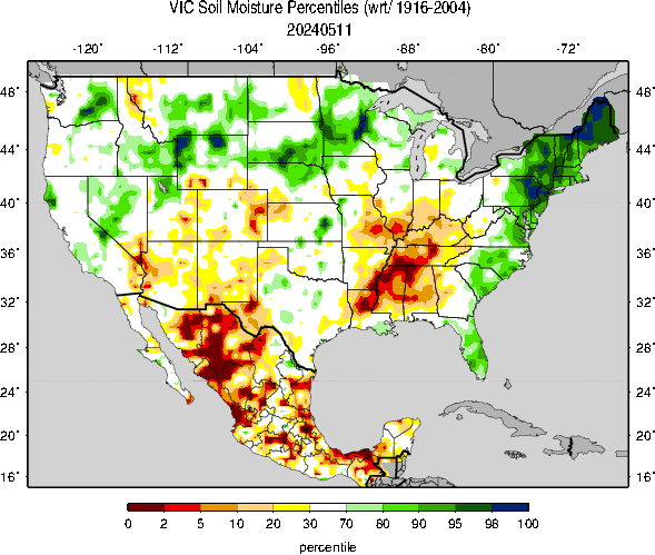
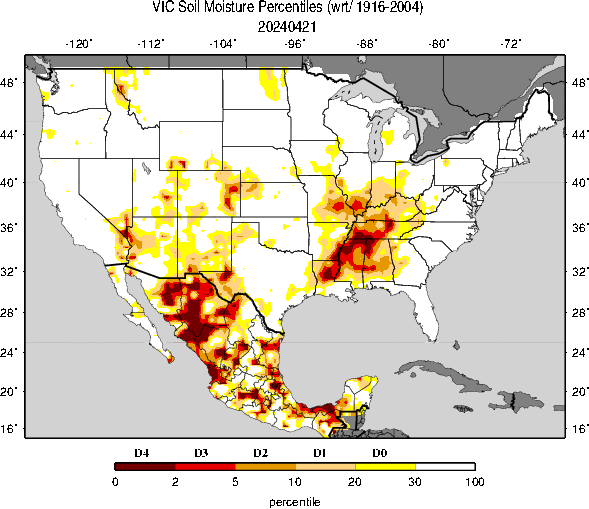
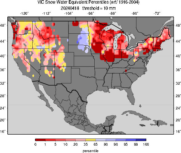
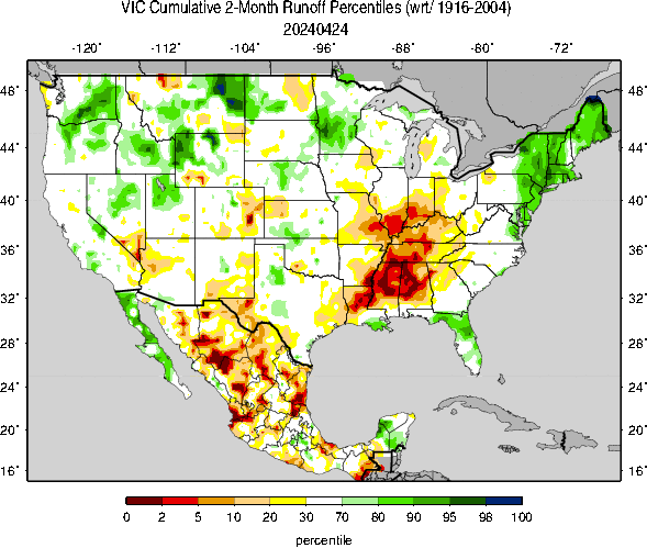
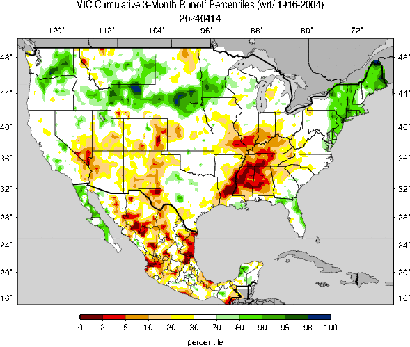
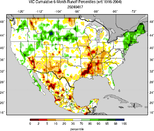
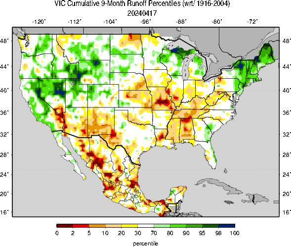
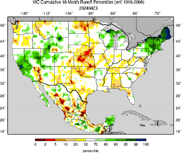
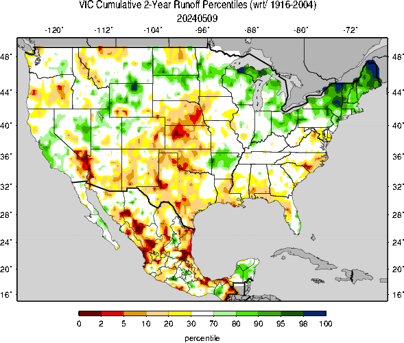
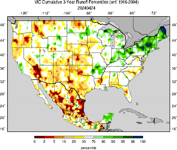
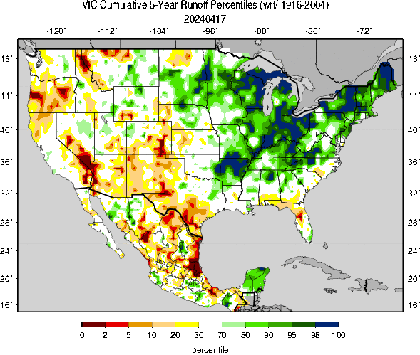
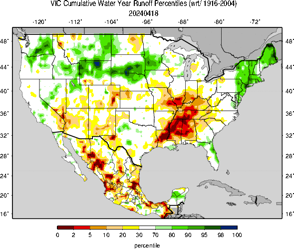
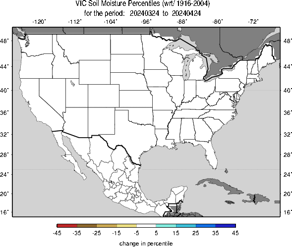
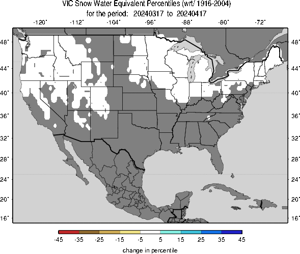
Current percentiles for soil moisture, SWE and other variables with respect to the climatological period (1916-2004 for CONUS and 1926-2004 for Mexico). These update daily by 11-12 pm PST, and have a lag of 1-2 days. Roll the mouse over links below (or click) to see different maps. Note: SM & SWE maps are for daily values, whereas RO maps are for cumulative values. SW Monitor description: For details about the genesis and implementation of the Surface Water Monitor see: Wood, A.W. 2008, The University of Washington Surface Water Monitor: An experimental platform for national hydrologic assessment and prediction, in Proceedings of the AMS 22nd Conference on Hydrology, New Orleans, LA, January 20-24, 2008.
|
Regional MapsKlamath Basin Washington State Page | ||||||||||||||
|
|||||||||||||||
;)
;)
;)
;)